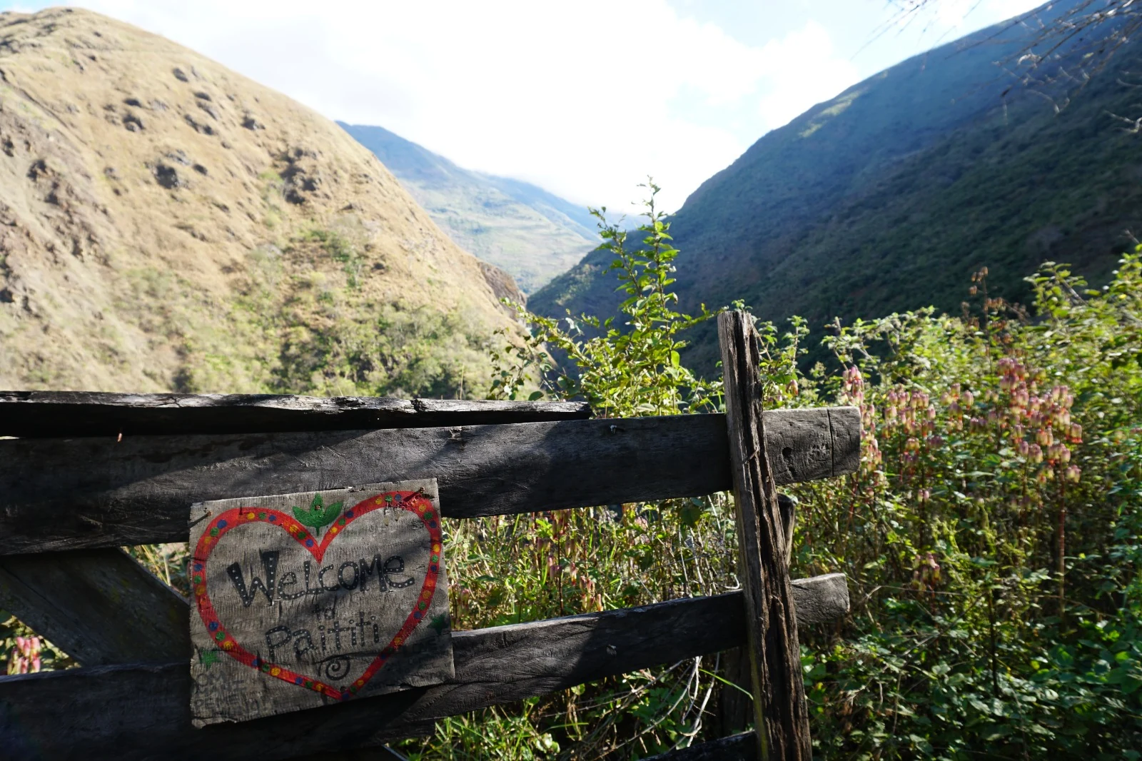
Paititi Biocultural Reserve
1,516 hectares in the Mapacho Valley, at the exact seam where the high Peruvian Andes give way to cloud rainforest — held in trust as a buffer to the Manu National Park Reserve, and stewarded as a living laboratory rather than a landholding.
An ecological bridge
The reserve sits where two of the world’s great biomes meet, which is why the land is worth protecting as one piece.
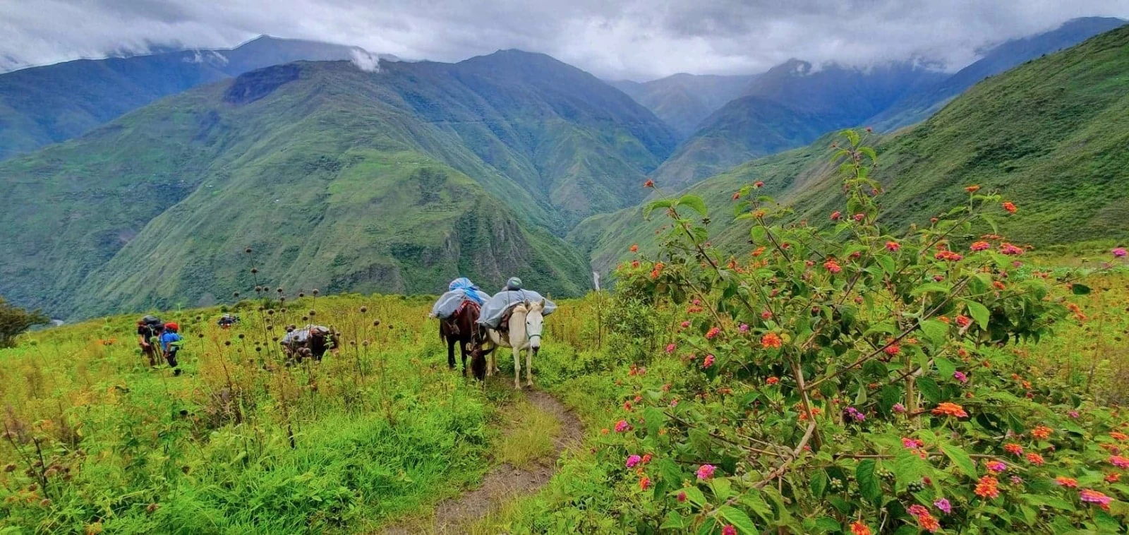
The land lies in the Mapacho Valley in the Paucartambo region — four and a half hours by road from Cusco, three and a half from the Sacred Valley. It is positioned exactly where the high Peruvian Andes give way to the cloud rainforest, and it operates as a protective buffer to the Manu National Park Reserve, one of the most biodiverse regions on Earth.
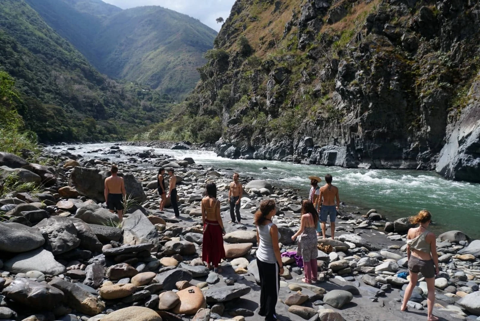
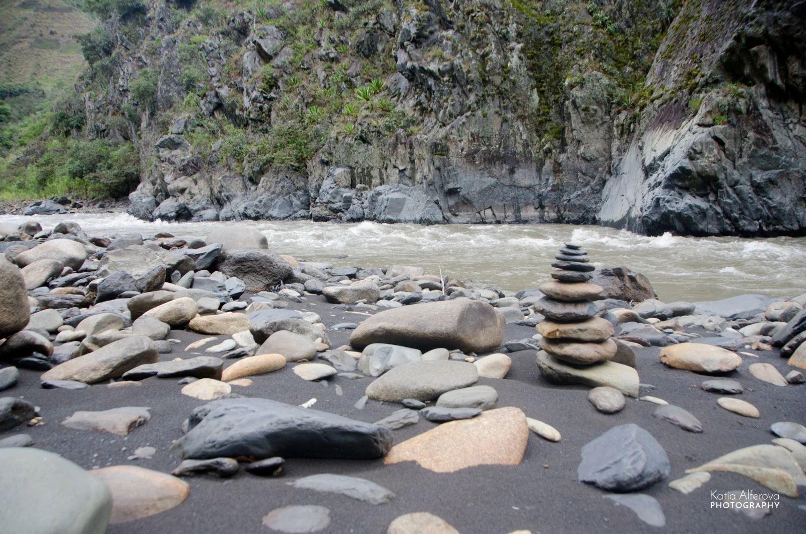
The boundaries are drawn by water rather than by fence: the Mapacho River borders the lower elevations and the Yuracmayo River runs along the adjacent flank, bracketing a single contiguous landholding that covers a major watershed segment end to end. The reserve also safeguards archaeological sites and sections of the ancient Qhapaq Ñan, the Royal Inca Road.
In 2026, after more than a decade of stewardship and legal proceedings, the Supreme Court of Lima affirmed Paititi Institute’s ownership — clean title, and with it the ability to manage the whole watershed as one system.
Three ecological horizons
The elevation change across the property is extreme enough that the reserve holds three distinct climates — and therefore three distinct ways of growing, building and living — stacked one above the other.
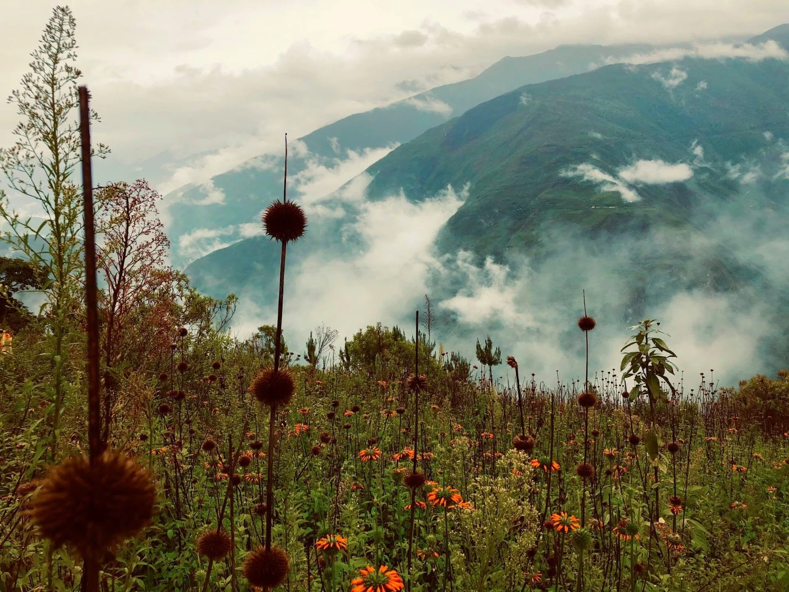
3,500 mHigh Sierra
Exposed, cool alpine climate. This is where the headwaters begin and where the primary habitat corridors run — the part of the reserve kept under absolute conservation.
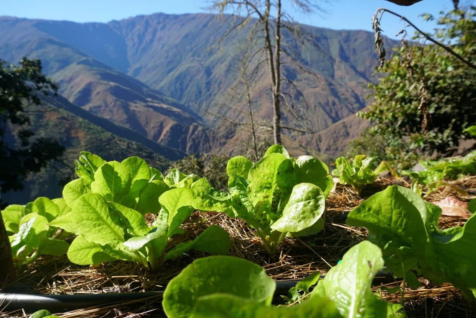
2,400 mTemperate
A moderate climate zone, and the core of daily life: the main basecamp, the upper gardens, and temperate crops — potatoes, brassicas, root vegetables, tomatoes, squashes and medicinal herbs.
1,800 mSub-tropical
The warm valley floor along the Mapacho. Shade-grown coffee runs across the lower slopes, interplanted with papaya, bananas, pineapples, mangoes and avocados, and the river beaches are reachable from here.
A hydrological engine
Everything the reserve protects upstream eventually reaches the Amazon. Water is the reason the boundaries are drawn where they are.
Unpolluted catchment
A primary, unpolluted catchment area whose waters ultimately feed the wider Amazon basin — protected at the source rather than treated downstream.
Dozens of springs
Fed by dozens of crystalline mountain springs, which together support more than twenty small waterfalls inside the property boundaries.
High drainage density
A dense mesh of micro-drainages channels water rapidly down the steep slopes into the Mapacho and Yuracmayo rivers — which is also why erosion control governs every new trail.
The same steepness that makes the reserve difficult to build on makes it hydrologically rich. Rainfall reaches up to 200 mm a month in the wet season between December and March, driving explosive growth; the dry season from June to August brings near-zero rainfall and clear skies, with freezing nights in the high zones and mild daytime highs around 14 °C year-round.
Managing that swing — holding water in the wet months, keeping it clear in the dry ones — is the practical core of stewarding this land.
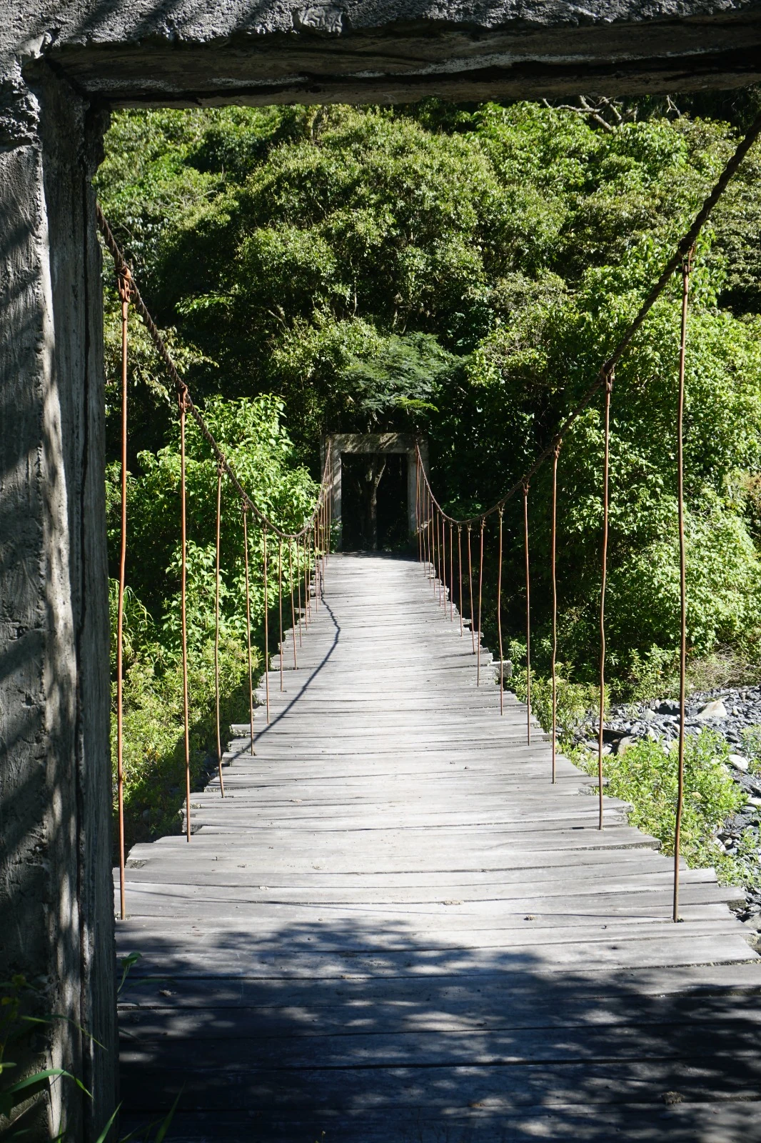
The reserve, photographed
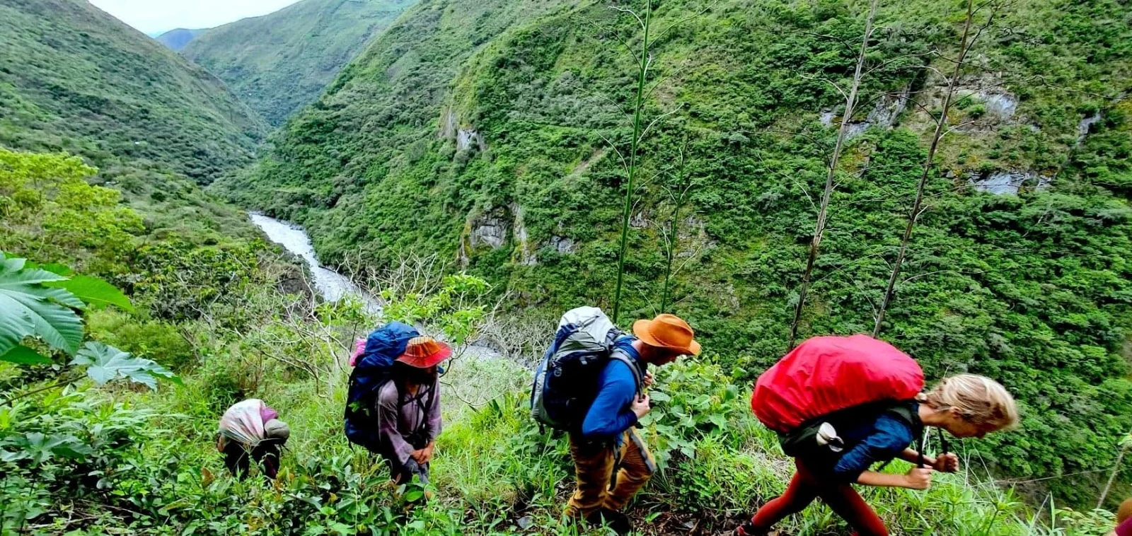
The gate, the gardens, the river, the trails, and the people who keep them.
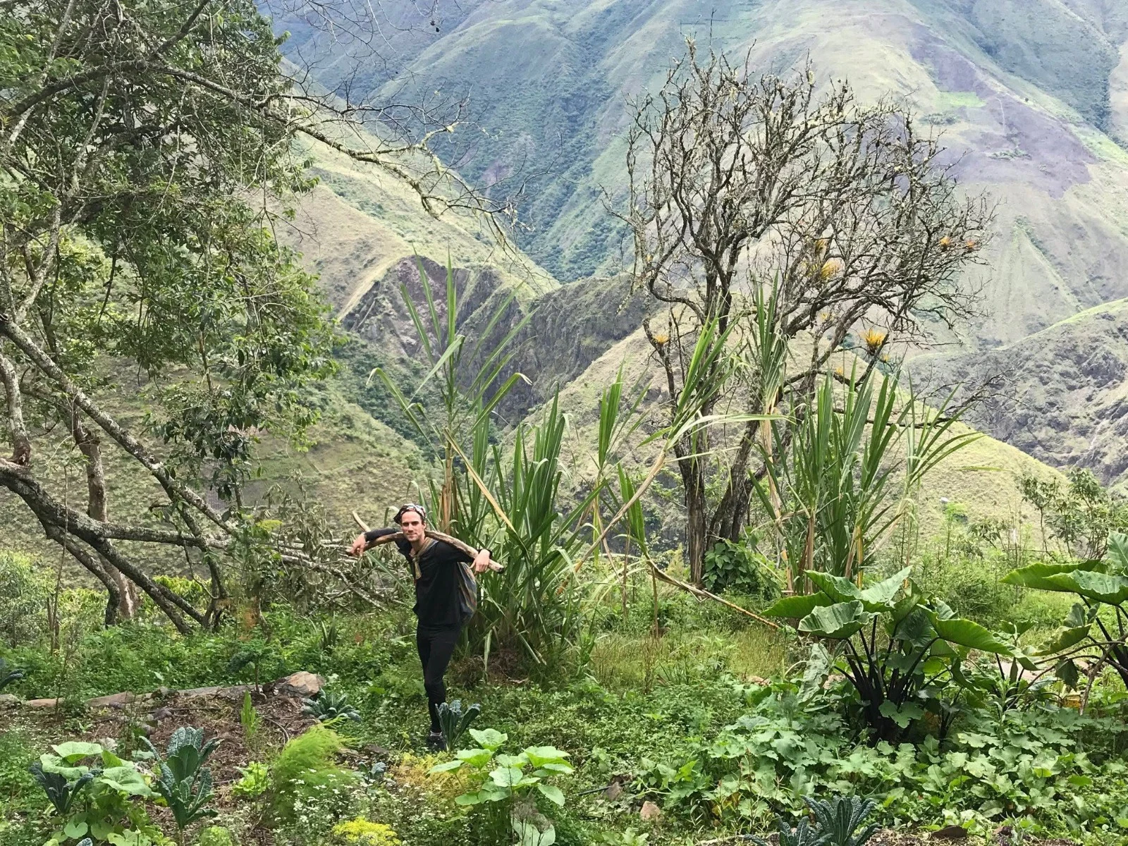
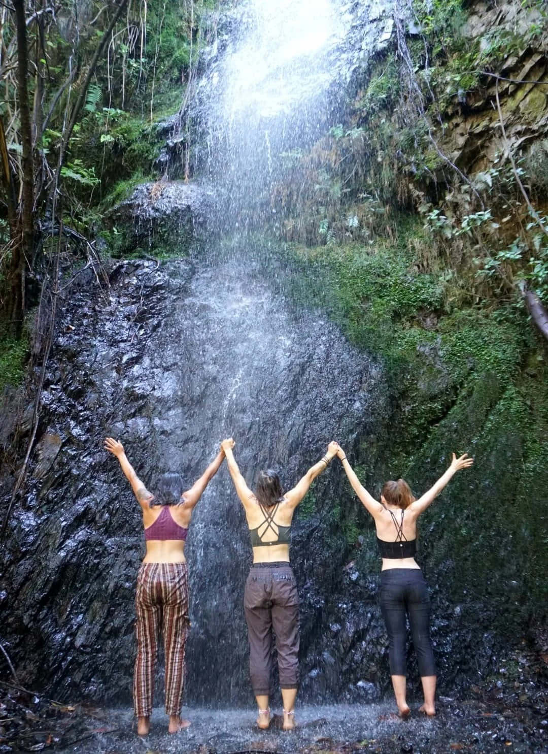
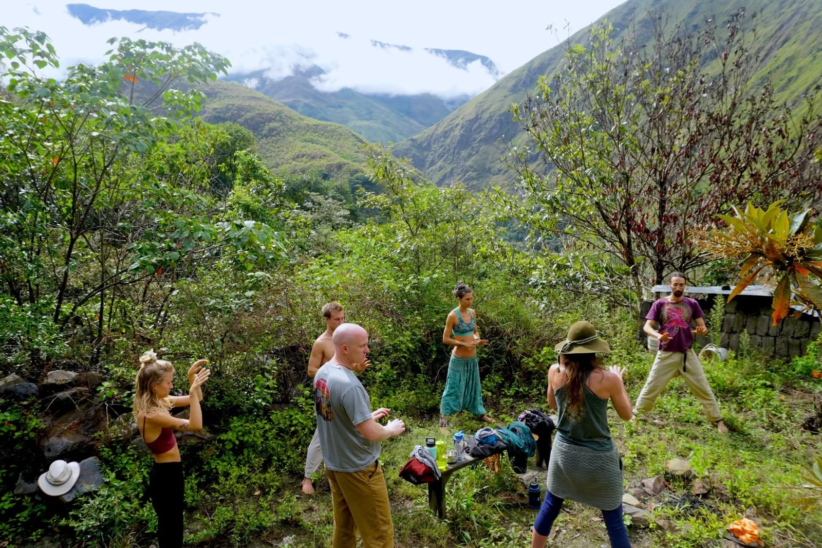
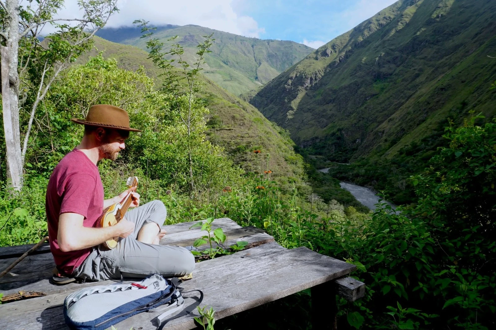
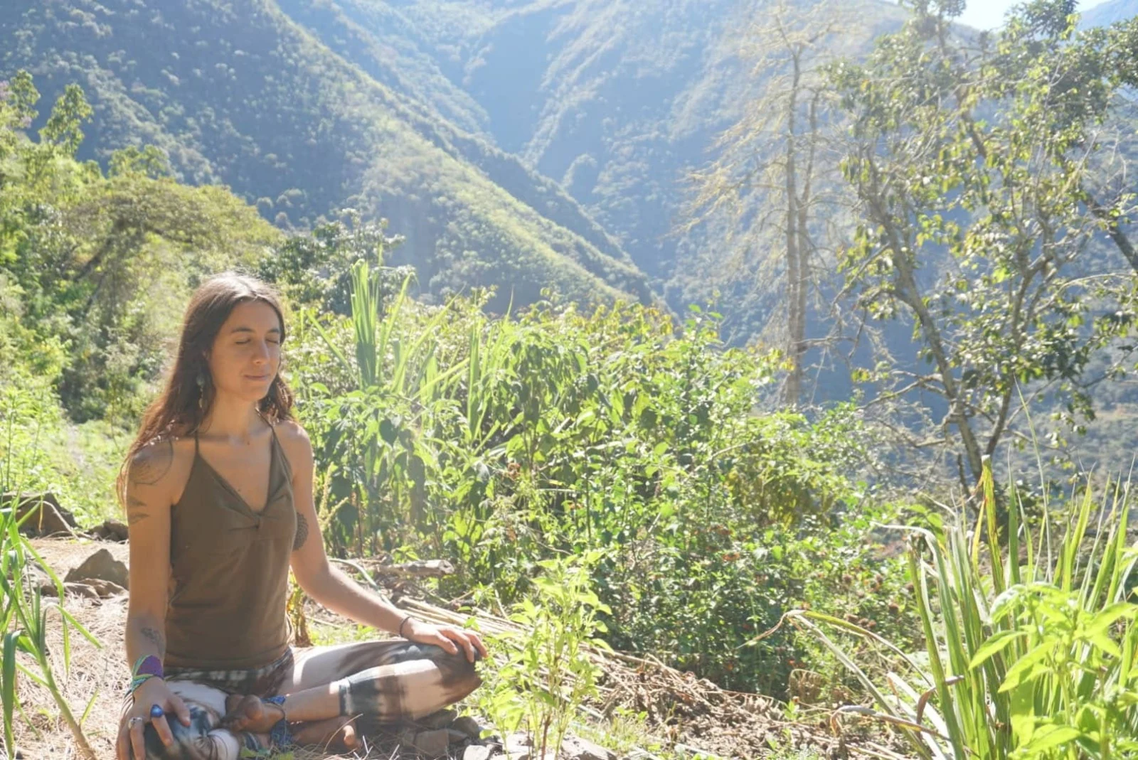
River beach photograph by Katia Alferova.
A closed-loop laboratory
Twenty weather-proof structures are distributed across the mountain’s climate zones, integrated into the terrain without clear-cutting. What runs them is the point.
Energy & connectivity
Mains 220V electricity from installed solar arrays, paired with fully functional satellite internet — remote, but not cut off.
Water & heat
Gravity-fed passive solar showers, heated by 100-metre black hose coils set in corrugated acrylic niches to maximise solar gain.
Sanitation
High-capacity four-chamber composting toilets. Chambers rotate every twelve months, turning humanure into rich, odourless soil.
Soil generation
Dedicated composting bins feed the orchards, which range from peaches and figs to passion fruit and mandarins.
The basecamp at 2,400 m holds the communal spaces, the main house, the harvest house, the carpenter’s balcony and a fully restored hundred-year-old chapel, rebuilt to honour its original design. Four residential houses with kitchens sit in the upper gardens near the village of Ichiu — one of them directly next door to the local children’s school. The lower gardens at the river are a future build site with real micro-hydro potential.
The constraints are honest ones. Remote access limits heavy machinery and demands local materials and resilient emergency planning; the extreme slopes rule out large earthworks and dictate a light-touch architecture; and intense seasonal rainfall means any new trail or hydro infrastructure needs meticulous surface-water management and geotechnical verification first.
The site atlas
A fifteen-part orientation to the reserve as a living system — landform, water, ecology and regenerative stewardship — prepared to give collaborators, researchers and designers a shared baseline before anyone proposes anything.
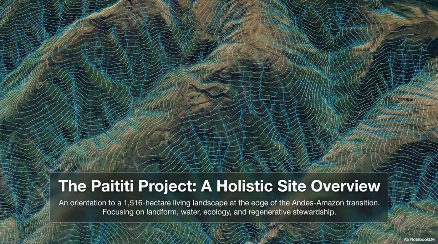
It reads the site through the Scale of Permanence — putting the immovable forces of climate, topography and water ahead of human infrastructure, so that what gets built follows the land instead of fighting it.
- Location, boundaries and the 1,516-hectare landholding
- Terrain, relief and the microclimates the folds create
- Hydrology, drainage density and the seasonal climate cycle
- Vertical wildlife corridors and the genetic bridge to Manu
- Structures, off-grid systems and agroforestry by elevation
- Constraints, community relations, and next steps
Stewards, not landowners
The property shares a physical and social border with the village of Ichiu, and the reserve’s structures sit immediately adjacent to the local children’s school. That proximity sets the terms: the Institute operates not merely as a landholder but as an integrated steward supporting local ecological and cultural integrity.
The reserve is both pantry and classroom. As pantry: food forests, seed nurseries and demonstration plots grow organic food and medicinal plants for community kitchens, the school and local markets. As classroom: the land itself is the curriculum — youth capstones and farmer trainings run on its plots, and elders teach beside master gardeners.
Because it works in one place, it can be replicated by other communities in Peru and beyond — always Indigenous-led, locally adapted, and paced by elders’ consent.
A living blueprint
What the next decade of stewardship is for.
Protect
Absolute conservation of the headwaters, the steep slopes and the vertical forest corridors that serve the Manu National Park Reserve buffer.
Regenerate
Expanding closed-loop agroforestry and off-grid living systems as a working laboratory for resilient human habitation.
Educate
Collaborating with researchers, designers and local partners to study and document this unique ecological interface.